Our Inventory
Please browse our inventory and reach out if you have any questions!
Available Signs
Wayne County Signs
Sign #1
Location: Back-Orrville Rd
between Orrville and Wooster

Read: Westbound
Google Streets View: Link
Car Count: 6330 per day
$225/mo
Sign #1
Location: Back-Orrville Rd
between Orrville and Wooster

Read: Eastbound
Google Streets View: Link
Car Count: 6330 per day
$225/mo
Sign #2
Location: Back-Orrville Rd
between Orrville and Wooster
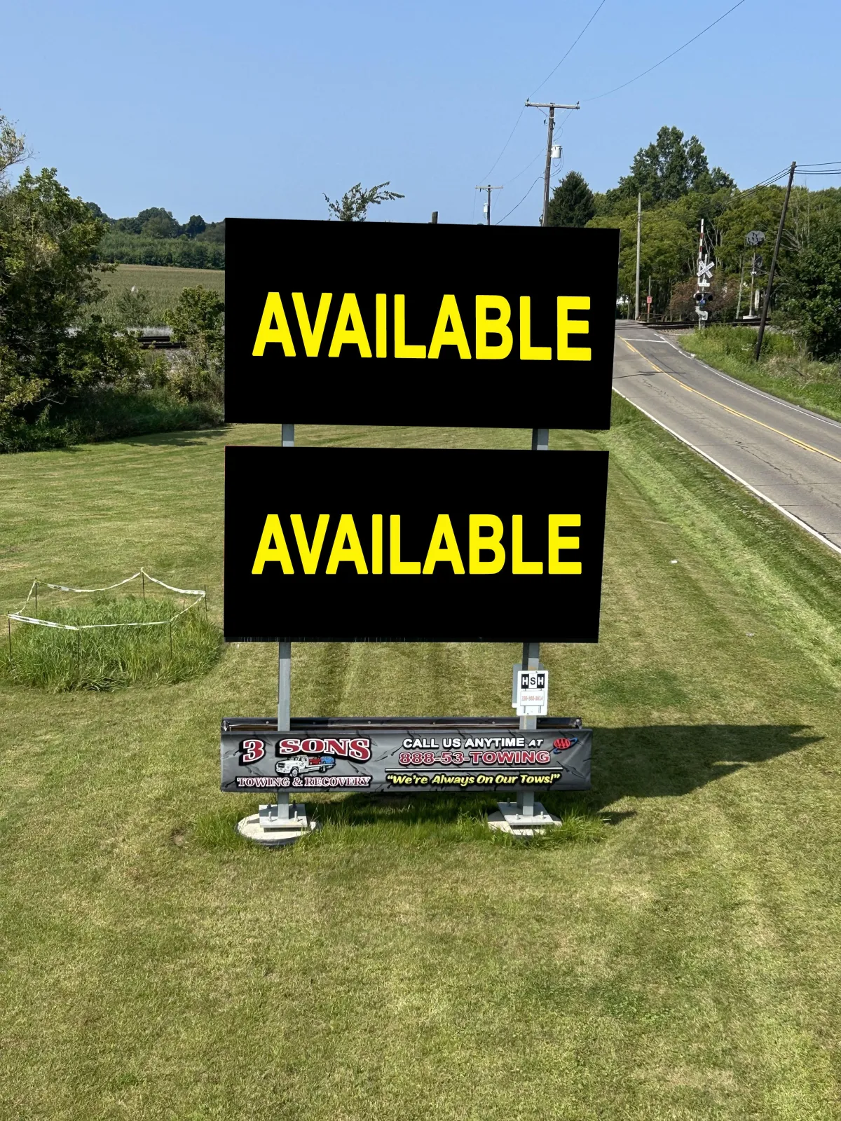
Read: Westbound
Google Streets View: Link
Car Count: 6330 per day
$225/mo
Columbiana County Signs
Sign #18
Location: Back-Orrville Rd between Wooster and Orrville
West of Rt. 44.

Read: Westbound
Google Streets View: Link
Car Count: 6,330 per day
$200/mo
Sign #18
Location: Back-Orrville Rd. between Orrville and Wooster West of Rt. 44.

Read: Eastbound
Google Streets View: Link
Car Count: 6,330 per day
$200/mo
Sign #13
Location: St. Rt. 62, between Salem and Alliance, just west of Co. Hwy 404 (near Tri-City Airport).
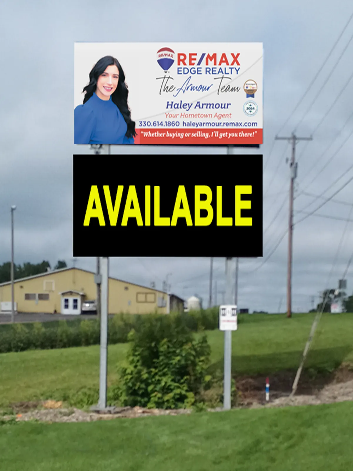
Read: Westbound
Google Streets View: Link
Car Count: 10,333 per day
$225/mo
Sign #13
Location: St. Rt. 62, between Salem and Alliance, just west of Co. Hwy 404 (near Tri-City Airport).

Read: Eastbound
Google Streets View: Link
Car Count: 10,333 per day
$225/mo
Sign #16
Location: State Rt. 62 between Damascus and Salem, just west of Salem.
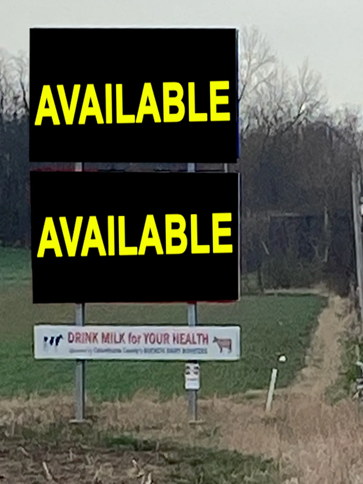
Read: Westbound
Google Streets View: Link
Car Count: 7632 per day
$250/mo
All Inventory
Sign #1
Location: Located on Back Orville Rd between Rt.44 & Orrville.
Daily Car Views (ODOT & County Traffic Records): 6,330 cars per day
Google Streets View: Link
Facing West

Facing East

Sign #2
Location: Located on Back Orville Rd., just outside of Orrville.
Daily Car Views (ODOT & County Traffic Records): 6,330 cars per day
Google Streets View: Link
Facing West

Facing East
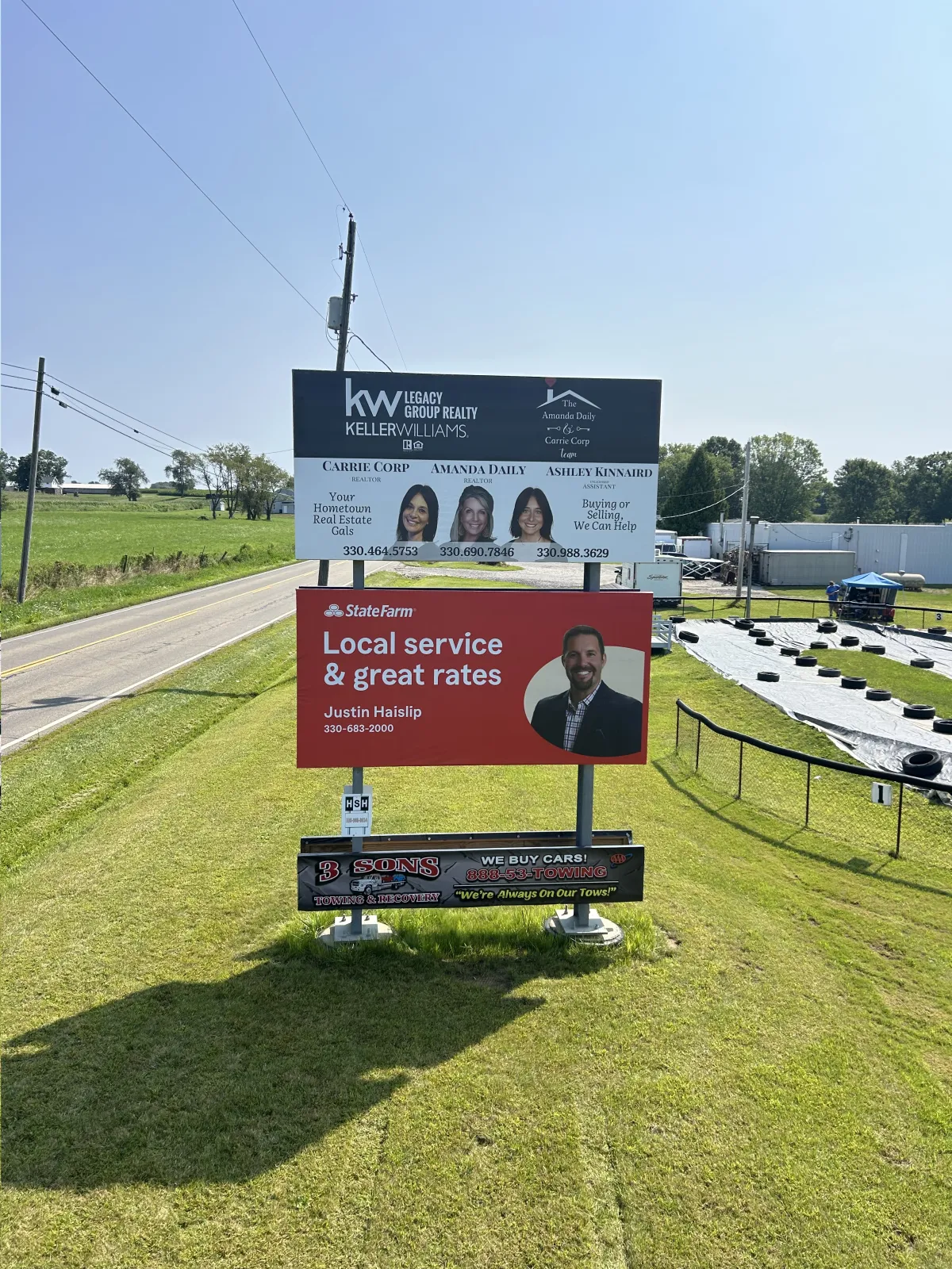
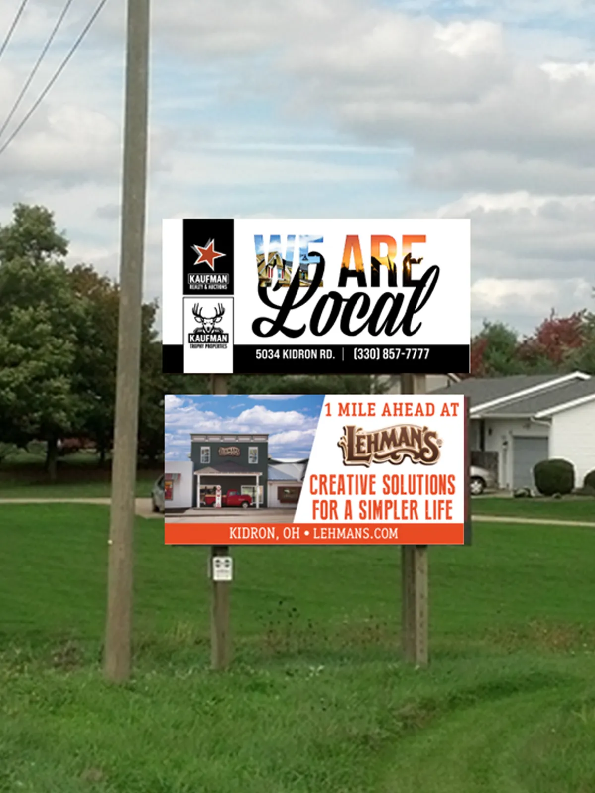
Sign #3
Location: Located on Kidron Rd. between St. Rt. 250 and Kidron.
Daily Car Views (ODOT & County Traffic Records): 2,551 cars per day
Google Streets View: Link
Facing South

Facing North
Sign #4
Location: Located on Rt.44 between U.S. 30.
Daily Car Views (ODOT & County Traffic Records): 6,278 cars per day
Google Streets View: Link
Facing South

Facing North

Sign #5
Location: Located on Kidron Rd. between U.S. 30 and Kidron.
Daily Car Views (ODOT & County Traffic Records): 2,551 cars per day
Google Streets View: Link
Facing South

Facing North

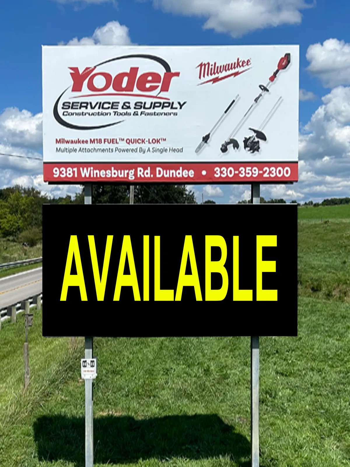
Sign #8
Location: Located on St.Rt.241, south of Mt. Eaton just before Holmes county line.
Daily Car Views (ODOT & County Traffic Records): 2,524 cars per day
Google Streets View: Link
Facing South

Facing North
Sign #9
Location: Located on St.Rt.83, between Wooster and Millersburg, about a mile south of Moreland.
Daily Car Views (ODOT & County Traffic Records): 4,585 cars per day
Google Streets View: Link
Facing South

Facing North

Sign #10
Location: Located on U.S. 30 between Wooster and Mansfield, just east of St.Rt.89.
Daily Car Views (ODOT & County Traffic Records): 13,488 cars per day
Google Streets View: Link
Facing West

Facing East

Sign #11
Location: Located on St.Rt.83, between Wooster and Millersburg, about a mile south of Moreland.
Daily Car Views (ODOT & County Traffic Records): 4,585 cars per day
Google Streets View: Link
Facing South

Facing North

Sign #13
Location: Located on St.Rt.62, between Salem and Alliance, just west of Co. Hwy 404 (near Tri-City Airport).
Daily Car Views (ODOT & County Traffic Records): 10,333 cars per day
Google Streets View: Link
Facing West

Facing East

Sign #14
Location: Located on East Clay St., Fredericksburg, east of town square.
Daily Car Views (ODOT & County Traffic Records): 1,331 cars per day
Google Streets View: Link
Facing West

Sign #15
Location: Located on Smithville-Western Rd. between Smithville and Wooster.
Daily Car Views (ODOT & County Traffic Records): 7,260 cars per day
Google Streets View: Link
Facing West
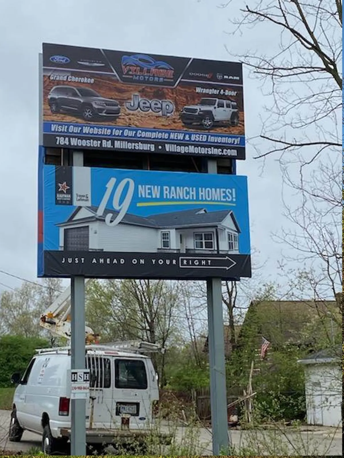
Facing East

Sign #16
Location: Located on St. Rt. 62 between Salem and Damascus.
Daily Car Views (ODOT & County Traffic Records): 7,632 cars per day
Google Streets View: Link
Facing East
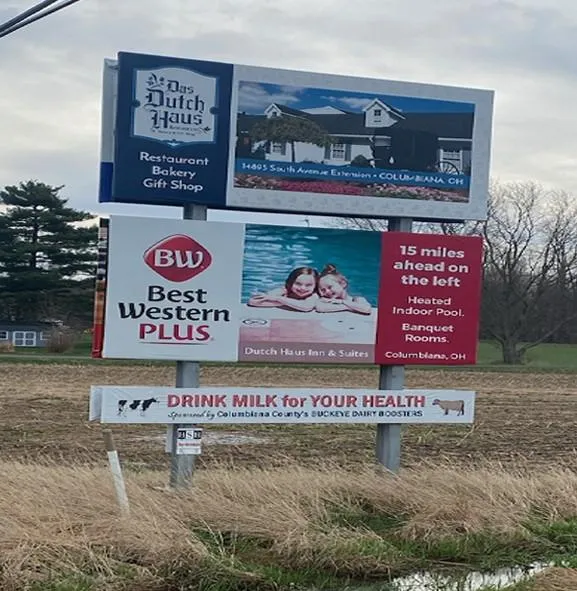
Facing West

Sign #17
Location: Located on U.S, State 30 between Dalton and Wooster.
Daily Car Views (ODOT & County Traffic Records): 9,278 cars per day
Google Streets View: Link
Facing West

Sign #18
Location: Located on Back-Orrville Rd. between Orrville and Wooster.
Daily Car Views (ODOT & County Traffic Records): 6,330 cars per day
Google Streets View: Link
Facing West

Facing East

Sign #19
Location: Located Vine Drive-Orrville Rd. between Orrville and Wooster.
Daily Car Views (ODOT & County Traffic Records): 6330 cars per day
Google Streets View: Link
Facing West
Navigation
Contact Us
sales@hshoutdoorads.com
(330) 988-8614

HSH Proudly Serving the Community Since 2008
See our privacy policy here.

